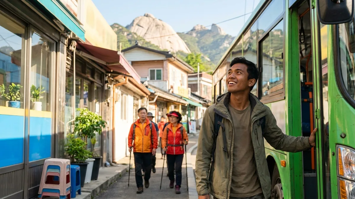
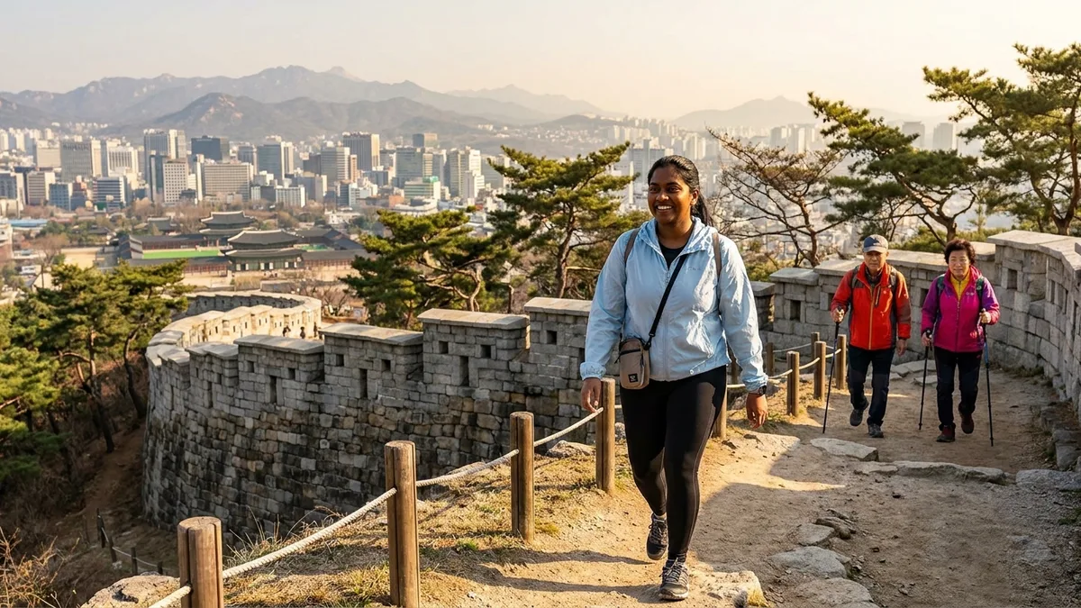
You've finished Gyeongbokgung and the whole afternoon is still yours — in Seoul, that half day is enough to stand on a mountain summit. Scattered across the city are mountains where the trailhead is a walk of ten-odd minutes from a subway station, entry is free, and no special gear is required.
The problem is that every search turns up Bukhansan. Bukhansan is a great mountain, but at 4–6 hours round trip it's a full-day course — too heavy to wedge between sightseeing plans. If half a day is your budget, the answer lies elsewhere: Inwangsan, Achasan, and Gwanaksan. Of the four Seoul trail networks the Seoul AI Foundation analyzed, Gwanaksan (a daily average of 1,192 people) and Achasan (729) also ranked high for foreign foot traffic (per July 2026 press reports). Inwangsan wasn't part of that analysis, but for downtown accessibility it's first on anyone's list.
This article is the hands-on edition for these three mountains. Which station and which exit to leave from, which trail to take up, how many hours to budget round trip, how to pair it with a Gyeongbokgung visit, and where to rent gear for Gwanaksan. If you can spare a full day, see the Bukhansan Hiking Guide; for Korea-wide hiking basics like why entry is free and wildfire-precaution periods, see the Intro Guide to Hiking in Korea.
The course and operating information below is based on publicly available information as of Aug 2026. Trail closures and rental center operations change by season and year, so double-check with the Seoul Hiking Tourism Center (seoulhiking.or.kr) and Seoul city or district office notices before you hike.
The three half-day mountains at a glance
| Mountain | Height | Station | Round trip | Difficulty | Highlights |
|---|---|---|---|---|---|
| Inwangsan | 338m | Gyeongbokgung or Dongnimmun Station, Line 3 | 2–2.5 hours | Easy-intermediate | Hanyangdoseong fortress wall trail; Gyeongbokgung and downtown views |
| Achasan | 287m | Achasan Station, Line 5 | 1–2 hours | Beginner | Gentlest of the three; Han River panorama and sunrise views |
| Gwanaksan | 632m | Sadang Station (Lines 2·4), Gwanaksan Station (Sillim Line) (bus transfer from Seoul Nat'l Univ. Station) | 3–6 hours (varies by course) | Intermediate to upper-intermediate | Yeonjudae at the summit; views over southern Seoul |
Choosing is simple.
- You have about 2 hours to spare → Achasan
- You want to fold a palace visit into one half day → Inwangsan
- You want to use the full half day and honestly say "I went hiking" → Gwanaksan
None of the three has a ticket booth — your only costs are subway fare and water money. No reservations needed either, so it's fine to decide on the morning of, based on the weather and how you feel.
Inwangsan — up the fortress wall behind Gyeongbokgung
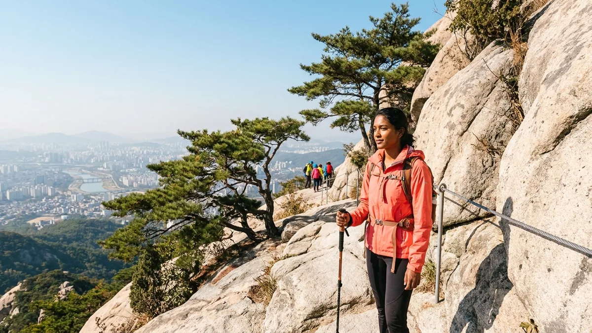
Inwangsan is a 338m rocky mountain rising directly behind Gyeongbokgung Palace. Hanyangdoseong — the fortress wall that once ringed the Joseon capital — climbs right over the mountain's ridge, so the hiking trail is the wall walk itself. Climb with your hand on 600-year-old stonework, look back, and Gyeongbokgung, the Gwanghwamun high-rises, and N Seoul Tower on Namsan all fit in a single frame. It's also the summit closest to downtown.
- Gyeongbokgung Station course (main): From Exit 1 of Gyeongbokgung Station on Line 3, walk up toward Sajik Park and join the fortress wall trail. Past the Beombawi lookout rock midway, it's 2–2.5 hours round trip to the summit and back. The views open wide around Beombawi, and plenty of people say that turning back there — without going to the top — already gives you your fill of the Seoul panorama.
- Dongnimmun Station course: From Dongnimmun Station on Line 3, climb past the Muakjae sky bridge and Inwangsa Temple; figure on 2.5–3 hours round trip. It's the convenient course when you're starting from accommodation in the Seodaemun area.
There are stories near the summit too. The broad rock below the top is called Chimabawi ("Skirt Rock") — Joseon legend has it that a deposed queen spread her pink skirt there, facing the palace. North of the summit runs Gichabawi ("Train Rock"), a rocky ridge stretching long like a train, so with time to spare, you can walk the ridge further and descend toward Buam-dong (the descent branches often, so check a map app).
On days when the rocky climb feels like too much, there's another option: the Inwangsan Jarak-gil. It's a gentle path contouring the mountainside — sneakers are plenty — that strings together Seochon sights like Suseongdong Valley and the Yun Dong-ju Literature Museum. It trades the summit view for neighborhood scenery; keep it in mind as the choice for days you want to save your legs.
Here's how to build the half-day plan around Gyeongbokgung: two hours at the palace in the morning → exit toward Gyeongbokgung Station and head straight for the Sajik Park approach → 2–2.5 hours up and down Inwangsan → a late lunch in the Seochon alleys after descending. The reverse order — climbing in late afternoon for the sunset and the first of the city lights before coming down — is popular too. But we don't recommend descending after dark for first-timers; see the safety section below.
Achasan — the gentlest ridge, with Han River views
Achasan is a 287m mountain in Gwangjin-gu at Seoul's eastern edge, and the gentlest of the three in this article. It's a ridge-walk of a course you can enjoy with zero hiking experience, with kids, or with your parents.
- Getting there: From Exit 2 of Achasan Station on Line 5, follow the signs toward Achasan Ecological Park for 10–20 minutes to reach the trail entrance.
- Course: Ecological Park → Goguryeojeong Pavilion → Haemaji (Sunrise) Square → summit, for a round trip of 1–2 hours. Haemaji Square is under 30 minutes in, and going just that far already gets you all the views.
- Alternate approach: From Gwangnaru Station, also on Line 5, it's a walk of ten-odd minutes to the Ecological Park entrance. Handy if you're coming from a hotel near the river.
- The view: Step onto the ridge and the Han River and the Lotte World Tower skyline in Jamsil unfold in a panorama. Walking paths where the city lines up along the river like this are rare even in Seoul.
This ridge path comes with a bonus: the remains of Goguryeo boru (fortress outposts) dot the trail. These are the sites of guard posts the Goguryeo kingdom strung along the ridge some 1,500 years ago to hold the Han River basin — a designated national historic site known as the Achasan fortress cluster. Read the excavation signboards as you walk and the hike turns into a history stroll.
As the name of its Sunrise Square suggests, it's a sunrise spot too. With clear views east, it's known as a New Year's sunrise destination said to draw tens of thousands on January 1 (organizers cite 40,000+ each year). With time and energy left over, you can continue along the ridge to neighboring Yongmasan.
The way back is simple as well. Retrace your steps to Achasan Station — or, with time to spare, descend toward Gwangnaru Station and finish with a stroll in the Han River park.
Gwanaksan — the upper limit of a half day: Yeonjudae
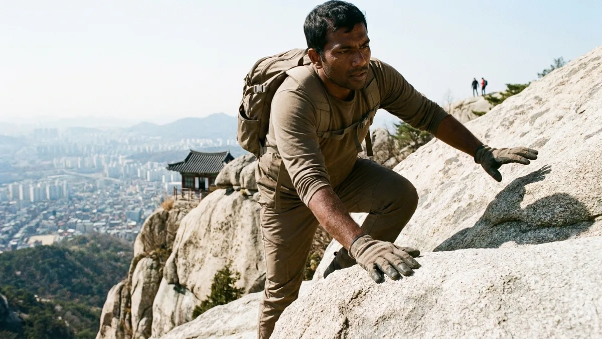
Gwanaksan is a 632m mountain on Seoul's southern boundary. It's the only one of the three you could call "real hiking," taking 3–6 hours round trip depending on the course — think of it as the upper limit of what fits in half a day. The summit, Yeonjudae, is famous for the dramatic sight of a hermitage (Yeonjuam's Eungjinjeon hall) perched on the edge of a cliff — plenty of people climb just to see that one scene.
- Sadang ridge course (views first): From Exit 4 of Sadang Station (Lines 2·4), pass Gwaneumsa Temple and follow the ridge via Madangbawi Rock and Gwanakmun Gate to Yeonjudae. Hands-on rock stretches make it the hardest of the three, but the views stay open the entire way. Official guidance puts it at 3 hours one way — count on 5–6 hours round trip with breaks.
- Valley course (beginners first): Step out of Gwanaksan Station on the Sillim Line and you're at the Gwanaksan Park entrance. Starting from Seoul National University Station on Line 2 instead, take branch bus 5511 or 5513 from outside Exit 3 to the park entrance. The trail follows the valley, so the early going is mellow and shaded — then you spend your strength on the steep final push (the "kkalttak" hill) just below the summit. From Gwanaksan Station, figure around 2.5 hours one way.
Because there are subway stations on both sides of the mountain, you can also go up from Sadang and come down toward Gwanaksan Station, making the ascent and descent two different courses. You never retrace your steps, so it never gets dull — and whichever way you come down, a station is waiting.
A few cautions. The summit area is bare rock and gets very slippery on rainy days and the day after. On those days, don't push for Yeonjudae — switch to the valley course or turn around near Madangbawi. In summer the shady valley side is the pick; in winter, icy ridges make crampons the deciding factor in course choice.
No gear is fine too. Inside the Gwanaksan Station building on the Sillim Line is the city-run Seoul Hiking Tourism Center, Gwanaksan branch, renting hiking boots, clothing, and crampons for a few thousand won per item. It serves foreigners and groups accompanying foreigners, and luggage storage is available. It's listed as closed on Wednesdays (as of Aug 2026; check official sources), so confirm operating days and book on the English page at seoulhiking.or.kr before visiting.
What to bring and wear — sneakers will do
- Inwangsan and Achasan: Sneakers with decent grip plus a bottle of water are all you need — the difficulty doesn't call for hiking boots. Buy water at a convenience store near the station beforehand; there's nowhere to buy it once you're on the trail.
- Gwanaksan is the exception: Its rock sections call for shoes with real traction, and if you take the Sadang ridge, grippy gloves bring the perceived difficulty down. If you don't have them, use the rental center at Gwanaksan Station.
- Seasonal gear: In summer, a hat and plenty of water; in winter, rocks and shaded stretches ice over, so bring or rent crampons.
- Pack light: Leave suitcases and big backpacks at your hotel or in a station locker and climb with a small bag. Free hands are what keep you safe on the rock sections.
- Don't be intimidated by Koreans arriving in full gear even for neighborhood hills. On the basic courses of these three mountains, plenty of locals are in sneakers too.
Rules and safety, just the essentials
- No drinking, smoking, or cooking: Seoul's mountains also carry fines for drinking and smoking in designated areas. Pack out all your trash.
- Descend before sunset: Some sections ban or restrict night hiking, and descending an unlit trail in the dark is how accidents happen. In winter the sun sets around 5 PM, so count backward from your descent time before you set out.
- Check spring/fall closures: During wildfire-precaution periods, some trails on Seoul's in-city mountains close too. Check Seoul city or district office notices — or if English is easier, the 24-hour multilingual travel helpline 1330.
- If you get lost, call 119: Photograph each numbered multipurpose location marker as you pass; in an emergency, give 119 the number and your location is pinpointed immediately.
- Check the weather: On days with a heat advisory or heavy fine dust, the views go hazy and your body pays for it. Check same-day conditions in a weather app before setting out and adjust your course.
Fine amounts, wildfire-precaution date ranges, and how to combine Naver Map, Kakao Map, and AllTrails in place of Google Maps are all laid out in the Intro Guide to Hiking in Korea.
After Seoul's mountains, the next one
Once the three half-day mountains feel familiar, the next step writes itself. On a day you can spare in full, it's Baegundae on Bukhansan — course comparisons, Ui-dong gear rental, and the sneaker-friendly Dulle-gil are in the Bukhansan Hiking Guide. Heading out of town, Seoraksan near Sokcho is 2.5 hours by express bus — transport and the cable car are covered in the Getting to Seoraksan Guide. Hallasan, Korea's highest peak, needs preparation since its summit trails are reservation-only — see the Hallasan Reservation & Hiking Guide.
There's no need to follow the sequence, but working up from half-day hills to full-day and out-of-town mountains lets your fitness and packing instincts grow naturally. Whichever mountain you pick, the safety rules in this article carry over as they are.
Transport & payment tips
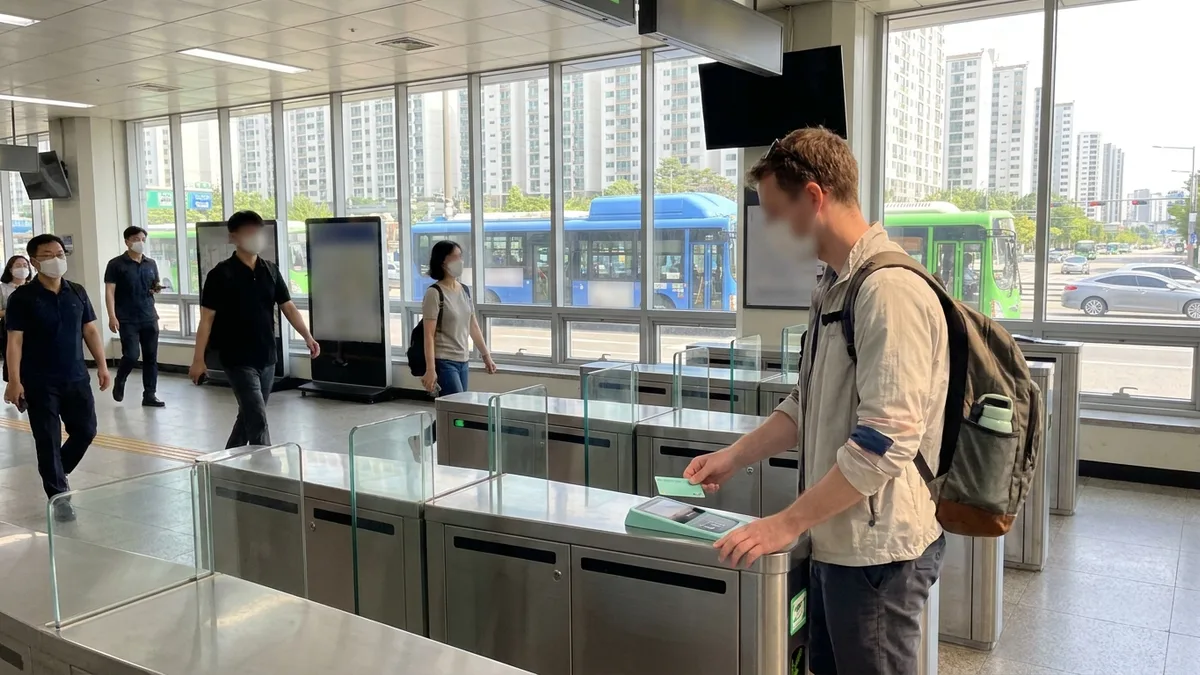
The total cost of a Seoul half-day hike is essentially a few thousand won in round-trip subway fare. Ride with a transit card like T-money and transfer discounts apply automatically (for buying and topping up, see the T-money Guide); and if you hold a Climate Card, Seoul's unlimited pass, all three mountains in this article sit at Seoul city stations, so you ride with no extra fare. Check coverage in the Climate Card Guide.
The wildcard comes after the descent. The moment your legs give out and you try to call a taxi, you discover that many Korean taxi apps demand Korean phone verification. Installing one transport and payment app designed to work without identity verification clears that snag. From taxi calls to KTX and express bus bookings, it all runs on overseas payment methods (Visa, Mastercard, Alipay, and more) in one app, so trip planning stays light — half-day hikes and Seoraksan expeditions alike. For other approaches, there's also How to Call a Taxi in Korea Without a Korean Phone.
Want to handle everything from your first ride after landing in one app? Check out LACHA.
Built to work without a Korean phone number or bank account, with overseas payment methods like Alipay, WeChat Pay, and Apple Pay. Taxi hailing plus KTX, express bus, and airport railroad (AREX) booking — all in one app.
Enter code GUIDE3 at sign-up for 3,000P instantly
Download now


Frequently Asked Questions (FAQ)
Q1. I've never hiked — which mountain should I start with? Start with Achasan. Haemaji Square is under 30 minutes in — it's a course you can't fail. Then Inwangsan, then Gwanaksan, in ascending order of difficulty. Even Gwanaksan is far more beginner-friendly if you take the valley course from Gwanaksan Station.
Q2. Can I go in just sneakers? For Inwangsan and Achasan, sneakers are plenty. Gwanaksan has rock sections that need shoes with real traction, and on the Sadang ridge we'd recommend gloves as well. If you have no gear, rent it for a few thousand won at the center inside the Gwanaksan Station building on the Sillim Line (Gwanaksan branch).
Q3. Can I combine Gyeongbokgung and Inwangsan in one day? Yes — that's this mountain's signature use. See the palace for about two hours in the morning, exit toward Gyeongbokgung Station, and climb straight onto the Inwangsan fortress wall trail; at 2–2.5 hours round trip, you're down before a late lunch. Palace in the afternoon → sunset hike also works well — just keep to the descend-before-dark rule.
Q4. Do I need tickets or reservations? All three are free, with no reservations needed. Just hop on the subway whenever you like. About the only mountain that requires a reservation is Hallasan's summit course — that procedure is in the Hallasan Reservation & Hiking Guide.
Q5. Can I climb Achasan before dawn for the sunrise? It's an established sunrise spot — billed as drawing tens of thousands on New Year's Day. But since you'll be climbing in the dark, you'll want a headlamp or phone light, a companion, and in winter, proper cold-weather prep. On certain days, access may be controlled for crowd and safety management, so check same-day notices before you go.
Note: This article is for general travel information purposes. Course times, operating hours, and rental fees are as of Aug 2026 and can change at any time. Before hiking, check the latest information through official channels such as the Seoul Hiking Tourism Center (seoulhiking.or.kr) and Seoul city or district office notices. LACHA does not guarantee trail access or gear rental.