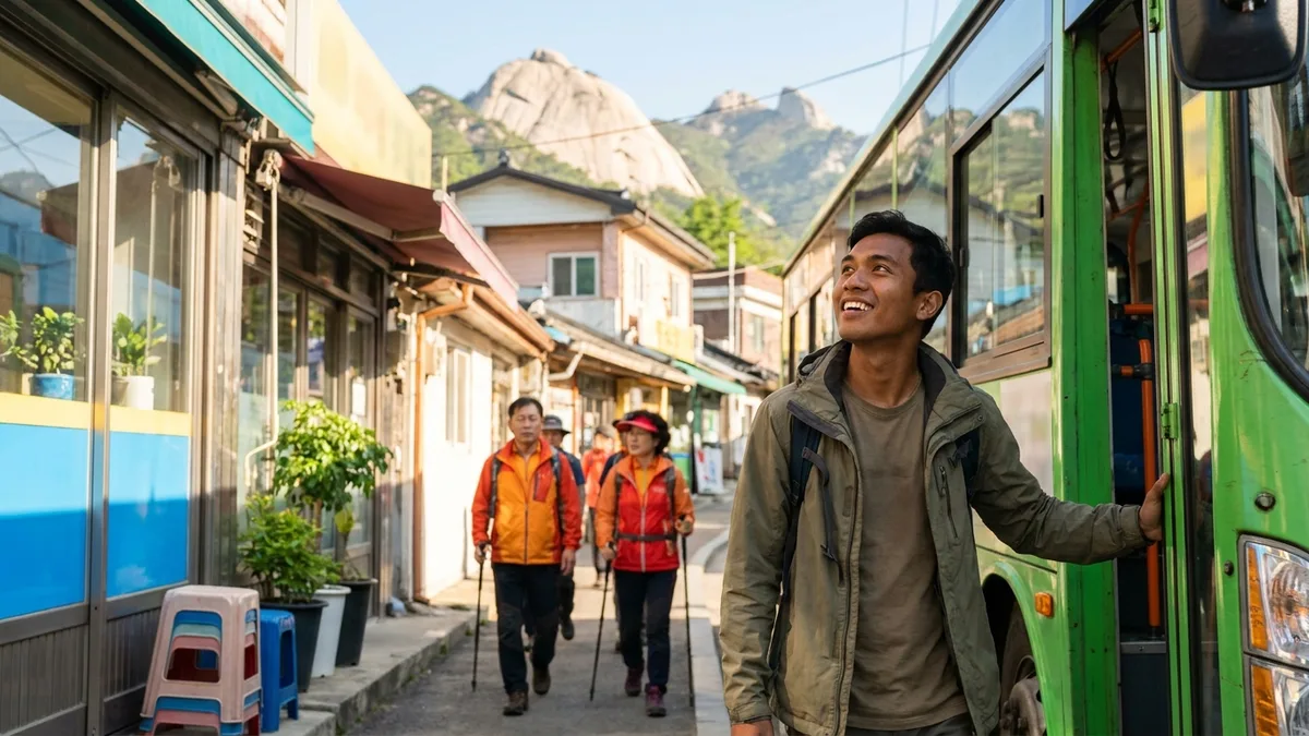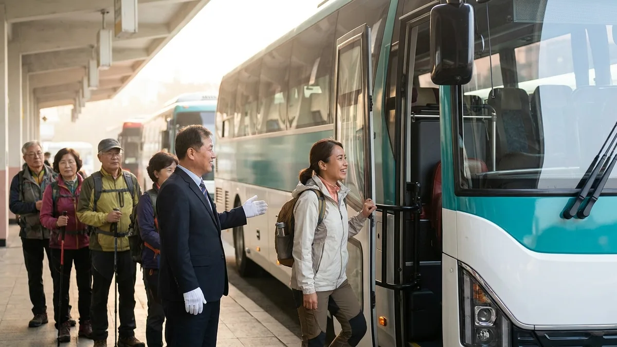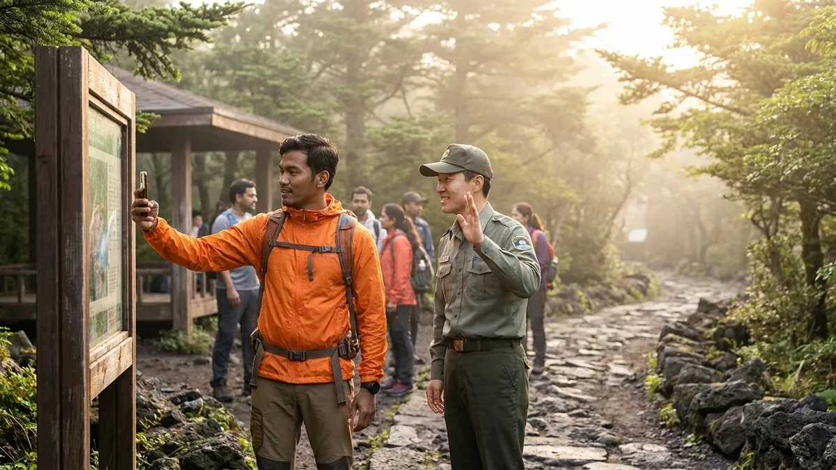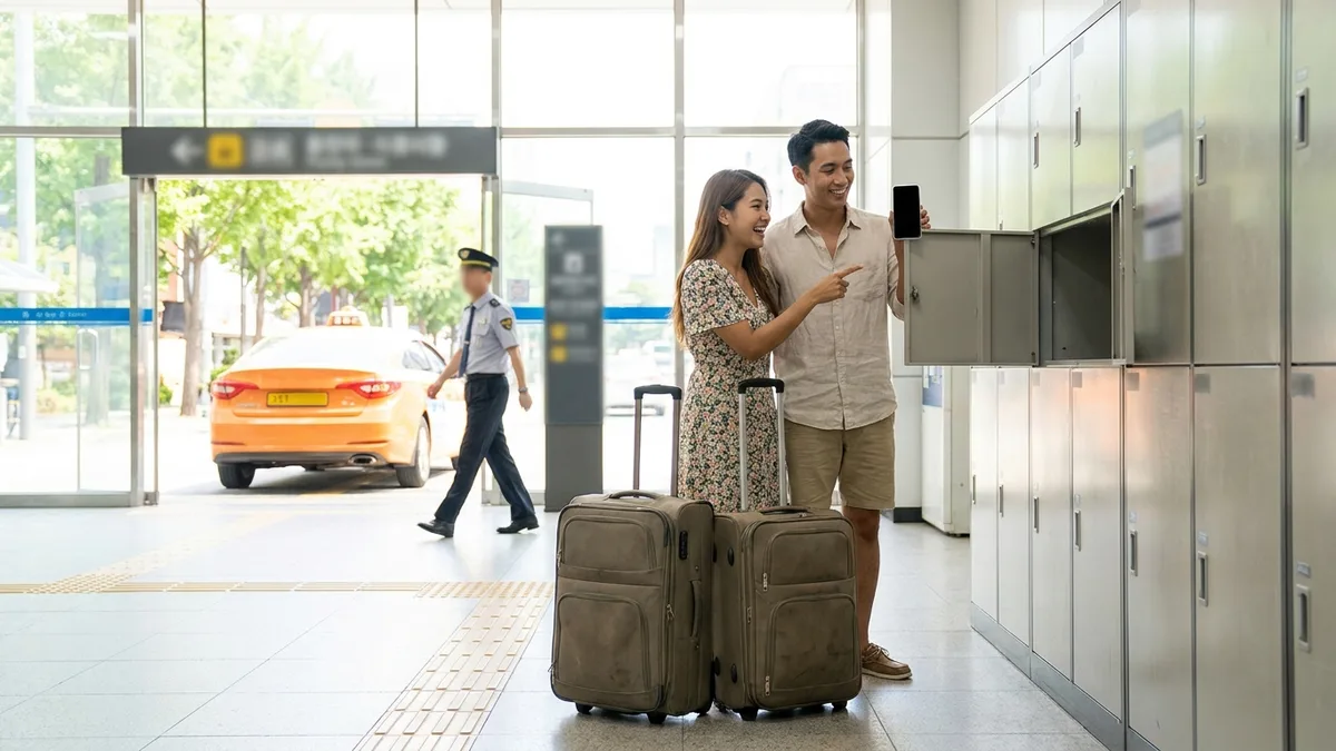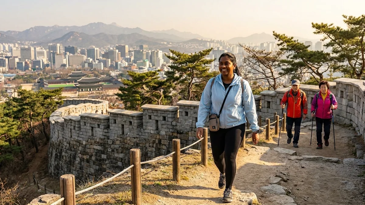
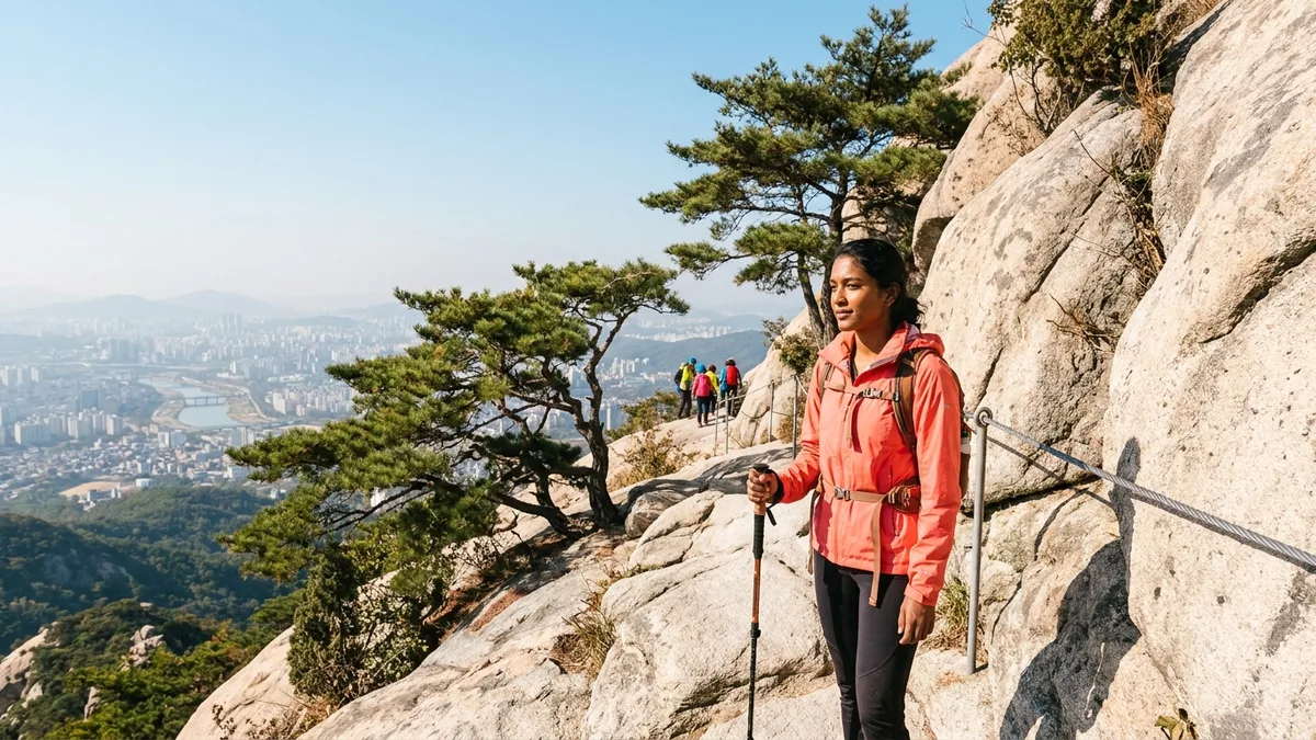
Ride the Seoul subway on a weekend morning and you'll find whole cars full of people in hiking gear, trekking poles in hand. About 70% of Korea's land is mountainous, and hiking is practically the national hobby. Several mountains can be reached from the middle of the city by subway alone, so even travelers can stand on a summit in half a day. Plenty of foreigners have already joined the crowd — foreign visitors to Korea's national parks alone number around 870,000 a year (a sharp rise since 2023, per Korea National Park Service figures).
That said, there are a few points where foreigners get stuck. Some mountains can't be entered at all without an advance reservation; in spring and fall, entire trails close for wildfire-prevention periods; and Google Maps barely covers Korean hiking trails. Travelers really do get turned away at the trailhead because they didn't know.
On the flip side, there's welcome news too. Korea's national parks have no entrance fees. Bukhansan, Seoraksan, Hallasan — setting foot on the mountain itself is free. In this article we'll go in order — why it's free, common rules like closure periods, gear rental, and the big picture of getting to each mountain — then hand you off to the mountain-specific guides for Bukhansan, Seoraksan, and Hallasan transport and reservation details.
The fares and closure information below is based on publicly available information as of Aug 2026. Trail closures and reservation rules change every year and every season, so before you hike, be sure to double-check with the Korea National Park Service (knps.or.kr) and each reservation site's notices.
Hiking in Korea: 3 things to know first
First, entering the mountains themselves is free. National park entrance fees were abolished in January 2007, so there's no ticket booth to look for at the trailhead. The cultural heritage viewing fee once collected when passing temples at mountain entrances was also waived at 65 Jogye Order temples from May 2023. That said, some temples may keep their own admission fees, and facility charges like cable cars and parking are separate. (as of Aug 2026)
Second, some mountains can only be visited with a reservation. The Hallasan summit trails (Seongpanak and Gwaneumsa) have a daily entry cap, and Bukhansan's Uiryeong-gil is a reservation-only section too — show up without one and you can't walk it.
Third, there are periods when trails close. To prevent wildfires, many national park trails are partially or fully closed during the fire-precaution periods — roughly February to mid-May in spring, and around November 1 to December 15 in fall.
Here's how four of the most popular mountains compare.
| Mountain | Difficulty | Round trip | Reservation | Transport |
|---|---|---|---|---|
| Bukhansan (Baegundae Peak) | Intermediate to upper-intermediate | 4–6 hours | Not needed (only Uiryeong-gil is reservation-only) | Seoul subway + bus |
| Gwanaksan | Intermediate to upper-intermediate | 3–5 hours | Not needed | Seoul subway (via Sadang / Seoul Nat'l Univ. side) |
| Seoraksan | Beginner to advanced by course | Half a day and up with the cable car | Not needed for trails; cable car is same-day on-site purchase only | Express bus to Sokcho, then city bus or taxi |
| Hallasan (Seongpanak) | Advanced | 8–9 hours | Required (advance reservation) | Limited-stop city bus 181 or taxi from Jeju Airport |
Gwanaksan and the other in-city Seoul mountains are covered separately in the Seoul Half-Day Hiking Guide.
Which mountain should you start with?
Half a day — Seoul's in-city mountains: Inwangsan, Achasan, Gwanaksan
If your schedule is tight, you can do it all without leaving Seoul. Inwangsan starts right near Gyeongbokgung Palace, takes just 2–3 hours round trip, and rewards you with great views over central Seoul. Achasan is a beginner course you walk to from Achasan Station on subway Line 5, with the Han River spread out below its ridge. Gwanaksan offers a variety of routes up from the Sadang Station and Seoul National University Station side, and once you top out on the ridge, southern Seoul opens up at a glance. None of the three requires a reservation, and the courses, subway exits, and times for all three are laid out separately in the Seoul Half-Day Hiking Guide.
A full day — Bukhansan
If you can spare a whole day in Seoul, it's Bukhansan. It's also the mountain foreigners visit most among Seoul's peaks (a daily average of about 4,000 people, per a Seoul AI Foundation foot-traffic analysis). The reason: it's a national park you can reach from downtown by subway. Just below the summit, Baegundae Peak (836m), there's a rocky stretch where you pull yourself up holding steel cables, so if it's your first time, we recommend checking course difficulty and what to bring in the Bukhansan guide linked in the table above before you go.
Two days, one night — Seoraksan and Hallasan
Both are a stretch as day trips from Seoul, so you'll want to build in an overnight stay to see them properly. Seoraksan requires an express bus ride to Sokcho, so one night is recommended. Even without serious hiking, riding the Gwongeumseong cable car up delivers plenty of scenery. Hallasan (1,947m), Korea's highest peak, sits on Jeju Island; the Seongpanak Trail is gentle in grade but long, so pacing yourself and starting early are what matter.
Before you go — reservations, closure periods, weather
- Hallasan reservations: The summit trails (Seongpanak and Gwaneumsa) require advance reservation, and bookings for the following month open at 9:00 AM (Korea time, KST) on the first business day of the month before your hike — because it's the "first business day," the date can shift with Korean public holidays. Entry start and cutoff times are also fixed by trail and season, so check the reservation before locking in your itinerary. The booking steps, cutoff times, and what to do if you miss out are laid out step by step in the Hallasan Reservation & Hiking Guide. (as of Aug 2026)
- Bukhansan's Uiryeong-gil: An old road between Bukhansan and Dobongsan that can only be walked with a reservation. How to book is included in the Bukhansan guide. (as of Aug 2026)
- Wildfire-precaution periods: Closure start and end dates and affected sections vary by year and park (for Seoraksan in 2026: March 4 to May 15). That said, parks often keep certain designated trails open even during these periods, so a fire-precaution period doesn't mean hiking becomes impossible altogether (check official sources). If your planned course is closed, cable cars and dulle-gil perimeter trails — or in-city mountains like Inwangsan and Achasan — are your alternatives. To confirm, check whether your course is open in the Korea National Park Service notices (knps.or.kr). If the Korean-language notices are hard going, use the English site (english.knps.or.kr), or ask the helpline below to check open status on your behalf.
- Winter hiking (Dec–Feb): At high elevations like Hallasan, Seoraksan, and the upper reaches of Bukhansan, crampons and cold-weather gear are effectively mandatory in winter. Heavy snow or strong winds can trigger same-day entry bans or shortened entry hours (check official sources). Crampons are among the Seoul Hiking Tourism Center's rental items, and winter packing lists for each mountain are covered in the detailed guides.
- No night hiking: In national parks, hiking is prohibited from sunset to sunrise. Work backward from sunset time to plan your descent. In-city mountains outside the national parks, like Inwangsan and Achasan, aren't subject to this ban as such — sunrise hikes are common there (Achasan is the classic example) — but individual sections may be restricted, so follow the signs on site. (check official sources)
- Check mountain weather: The day before your hike, check the forecast on the KMA weather app or each national park's page. Summits are far colder and windier than the city, and trails and cable cars can be closed on the day when rain or strong winds are forecast. If Korean-language services are difficult, check the KMA's English forecast page or search the mountain's name (e.g. Hallasan) in the global weather app you already use — and if you're stuck, you can ask the helpline below to check same-day closures and weather for you.
- Where to ask: For English inquiries, the travel helpline 1330 (24 hours; English, Chinese, Japanese, and more) is the easiest. Contact numbers for each national park office are on the Korea National Park Service site.
No gear? No problem — rentals at the Seoul Hiking Tourism Center
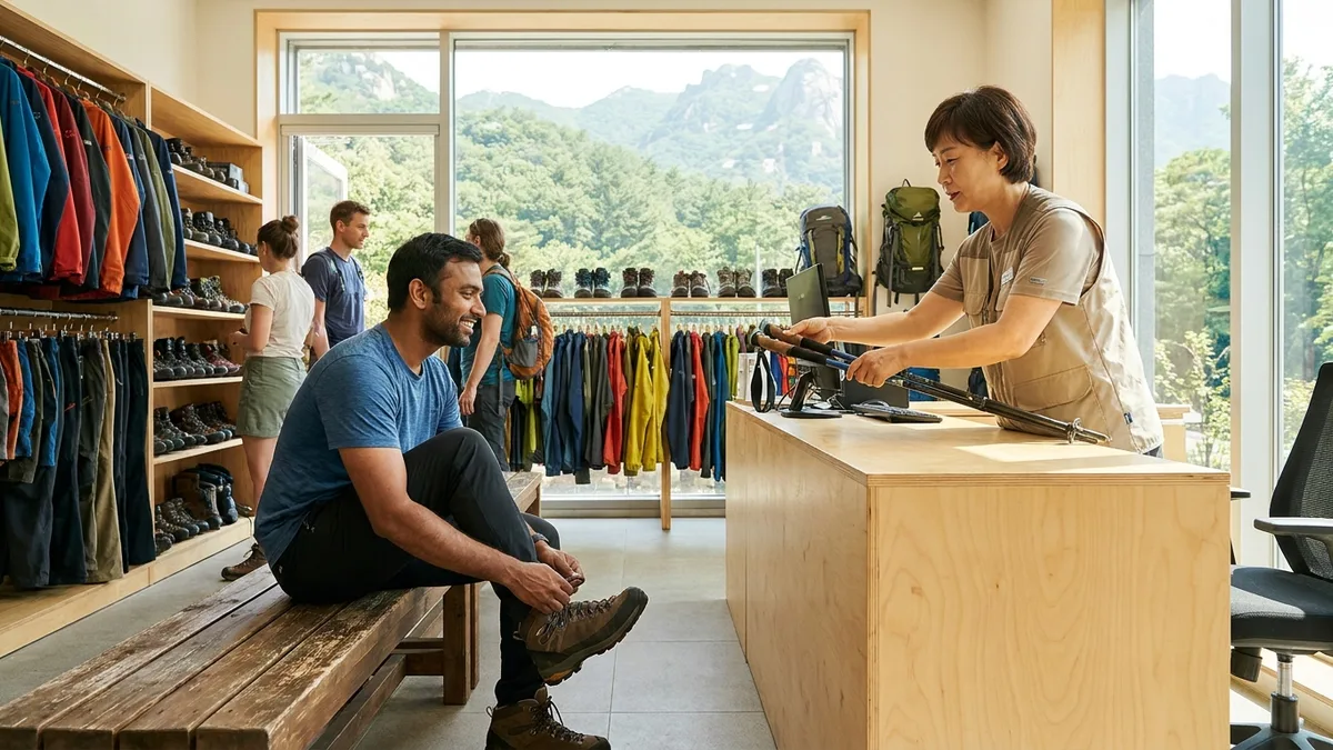
Serious gear like hiking boots, jackets, and trekking poles can be rented for a few thousand won per item at the Seoul Hiking Tourism Center, which the Seoul city government runs for foreign hikers (as of Aug 2026; check official sources). Sizes go fast on weekends, so it's best to reserve in advance on the official site (seoulhiking.or.kr); branch locations, rental items, fees, and hours are all in the Bukhansan guide. Note that this rental service is built around same-day hikes near Seoul (same-day return), so for multi-day expeditions like Seoraksan or Hallasan it's safer to bring your own gear or check local rental and purchase options in each mountain's guide (whether returns on a different day or in a different region are possible needs official confirmation).
For low mountains like Inwangsan and Achasan, sneakers and a bottle of water are all you need — Korea's famously all-the-gear hiking dress culture and footwear guidance by course are covered in the Bukhansan guide.
Getting to the mountains
Bukhansan — straight there by subway + bus
Bukhansan's trailheads are directly reachable by Seoul subway + city bus. For lines, exits, and stops by course, see the Bukhansan guide. Bus and subway fares are easiest paid with a transit card like T-money — how to top one up is in How to Recharge a Transit Card with a Foreign Card.
Seoraksan — express bus to Sokcho, then city bus or taxi to Sogongwon
From Seoul Express Bus Terminal or Dong Seoul Terminal, it's an express bus ride of about 2.5 hours to Sokcho, then a transfer by city bus or taxi from Sokcho's terminal to Seoraksan Sogongwon. For booking in English, see the Express Bus Booking in English Guide.
The Gwongeumseong cable car at Sogongwon takes no online or phone reservations — it's same-day, on-site purchase only. Bus and cable car fares, how to check whether it's running, same-day shuttle and tour alternatives, and tips for booking a return ticket that often sells out on weekends are all gathered in the Seoraksan guide.
Hallasan — Jeju Airport to Seongpanak
From Jeju Airport, a limited-stop city bus goes straight to the Seongpanak trailhead. That said, if you're setting out before dawn to make your entry time, a taxi is the realistic option — the safest plan is to stay in Jeju City the night before and move in the early morning. Bus numbers and fares, how to plan a pre-dawn start, and how to get back after descending via Gwaneumsa are all left to the Hallasan Reservation & Hiking Guide.
Rules and safety on the mountain
The rules below apply to the national parks (Bukhansan, Seoraksan, Hallasan). City-managed mountains that aren't national parks — Inwangsan, Achasan, Gwanaksan — follow their own regulations, but you can assume the basics are similar: no cooking, no smoking, and pack out your trash.
- No drinking: Drinking alcohol in designated areas of national parks — summits, trails, shelters — carries a fine of ₩50,000 for a first offense and ₩100,000 from the second. The old custom of makgeolli at the summit is now illegal.
- No cooking, no smoking: Cooking outside designated areas (including boiling ramyeon) and smoking are both subject to fines. Pack out all your trash — there are no trash cans on the mountain.
- If you get lost: Numbered multipurpose location markers stand at points all along the trails. Call 119 and read out the number, and the rescue team can pinpoint your location immediately. 119 offers three-way interpretation, so you can report in English (check official sources). It's a good habit to photograph each marker's number as you pass. If you can't get signal on a ridge or in a valley, move to open ground and try again — emergency calls often connect via roaming or other carriers' networks (check official sources).
- Buy water and snacks at the bottom: There are almost no shops up on the mountain, and the few that exist run mostly on cash. Buy water and snacks in advance at a trailhead convenience store. For getting Korean won in cash at a good rate, see the Korea Currency Exchange Guide.
- The right map-app combo: Google Maps barely covers Korean hiking trails. Naver Map and Kakao Map do mark trails but their overall trail data is incomplete, while AllTrails has good trail info but weak navigation to the trailhead. We recommend combining them: Naver or Kakao Map to reach the trailhead, then AllTrails plus an offline map (download the GPX) once you're on the mountain.
No drinking on the mountain is the rule — but after you come down, it's a different story. Finishing at the trailhead restaurants with pajeon (savory pancake) and makgeolli (rice wine), plus dotorimuk (acorn jelly), is what completes a Korean hike. "Post-hike makgeolli" has become a fixture even among foreign hikers, so keep the rules while you're up there and enjoy the culture once you're down.
Transport & payment tips
Since the mountains themselves are free in Korea, most of your hiking budget and prep goes into getting there. Express bus booking, intercity travel, and the post-hike taxi are all one set. The catch is that many Korean transport apps assume Korean phone verification or a Korean card, so short-term travelers and newly arrived residents — still waiting on a residence card (ARC), with no Korean phone or bank account yet — hit the same wall at the booking step.
Installing one transport and payment app designed to work without identity verification makes this whole flow much simpler. If you can handle KTX and express bus bookings and taxi calls in a single app with overseas payment methods (Visa, Mastercard, Alipay, and more), planning a long-haul hiking trip like Seoraksan gets far easier.
Want to handle everything from your first ride after landing in one app? Check out LACHA.
Built to work without a Korean phone number or bank account, with overseas payment methods like Alipay, WeChat Pay, and Apple Pay. Taxi hailing plus KTX, express bus, and airport railroad (AREX) booking — all in one app.
KTX now up to ₩10,000 off. Enter code at sign-up for 3,000P on top
Download now


Frequently Asked Questions (FAQ)
Q1. Is it safe to hike alone? Yes — solo hiking is very common in Korea. Popular mountains like Bukhansan and Inwangsan draw steady streams of hikers on weekends, so even on a first visit there's always someone to ask for directions. That said, on early weekday mornings or on quiet trails it's safer to go with company, and on any mountain it's a good habit to tell your accommodation or a friend your route and schedule before setting out.
Q2. How do I reserve Hallasan? The summit trails (Seongpanak and Gwaneumsa) require advance reservation, and bookings for the following month open at 9:00 AM (Korea time) on the first business day of the previous month. How to use the reservation site and the entry procedure on the day are covered step by step in the Hallasan Reservation & Hiking Guide.
Q3. What about toilets during the hike? Mountain toilets cluster at trailheads, visitor support centers, and shelters — it's easiest on your nerves to assume there are none along the ridge sections. Stopping once at the trailhead before entry is the basic move, and for courses over 4 hours round trip, check toilet and shelter locations along your route in a map app beforehand.
Q4. Can I find hiking trails on Google Maps? Barely — as covered above, the realistic combo is Naver Map or Kakao Map to the trailhead, then AllTrails on the mountain. One thing to add: download your GPX files and offline maps over hotel or cafe Wi-Fi before entering the mountain. Signal cuts out in stretches along ridges and valleys.
Q5. What if I get lost or injured on the mountain? First, call 119 and give the number of the most recent multipurpose location marker you passed. Even if you're unhurt, if sunset is getting close, don't insist on the summit — turn downhill right away. In fall and winter the summit area is far colder than the city, and one spare layer can be what keeps hypothermia away.
Note: This article is for general travel information purposes. Trail closure periods, reservation rules, rental fees, and transport fares are as of Aug 2026 and change often by season and year. Before hiking, be sure to check the latest information through official channels such as the Korea National Park Service (knps.or.kr), the Hallasan reservation system (visithalla.jeju.go.kr), and the Seoul Hiking Tourism Center (seoulhiking.or.kr). LACHA does not guarantee trail access or reservations.