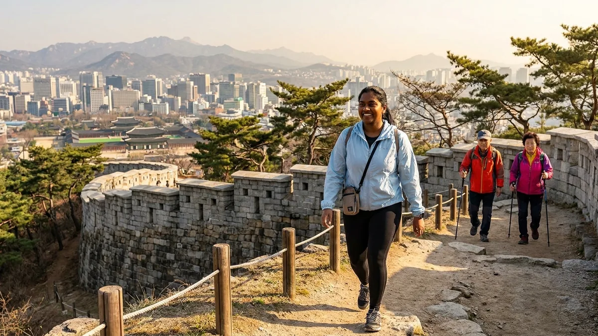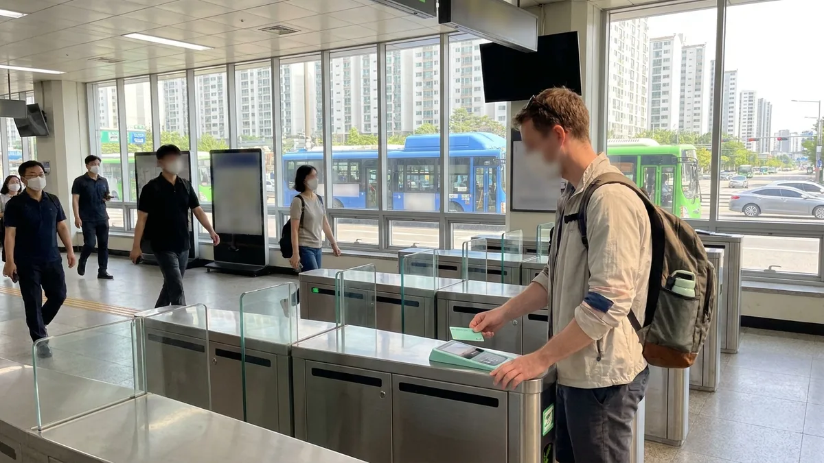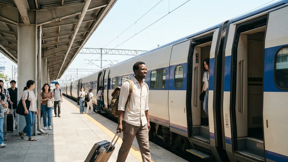
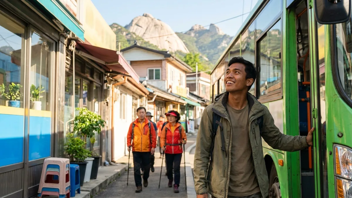
When the Seoul AI Foundation analyzed foot traffic on the city's hiking trails, the mountain foreigners visited most turned out to be Bukhansan. An average of just over 4,000 people a day (4,015 — Seoul AI Foundation analysis, per July 2026 press reports) goes up and down this mountain. In other words, alongside classic sights like Myeongdong and Gyeongbokgung, the mountain has now joined the Seoul travel itinerary.
The reason is simple: few capitals in the world let you get to just below a national park summit on nothing but subways and buses. The problem is information. With dozens of routes you don't know where to start climbing; Google Maps barely covers Korean hiking trails; and hearing that the summit is bare rock makes you hesitate when you traveled without hiking boots.
This article is the hands-on Bukhansan edition that untangles exactly those knots. We'll compare the two main courses up Baegundae Peak, cover how to reach the trailheads from Gupabal Station and Bukhansan Ui Station, the Seoul Hiking Tourism Center where gear rents for a few thousand won per item, and safety rules like entry hours — just what you need for a day on the mountain. If you only have half a day, the Seoul Half-Day Hiking Guide covering Inwangsan and Achasan is the better fit, and Korea-wide hiking basics — why entry is free, wildfire-precaution closures, Hallasan reservations — are covered separately in the Intro Guide to Hiking in Korea.
The course, fee, and operating information below is based on publicly available information as of Aug 2026. Trail closures and rental center operations change by season and year, so double-check with the Korea National Park Service (knps.or.kr) and the Seoul Hiking Tourism Center (seoulhiking.or.kr) before you hike.
What makes Bukhansan special
Bukhansan is a national park whose trailheads sit about an hour by subway and bus from central Seoul. It's also often cited as having one of the highest visitor densities of any national park in the world.
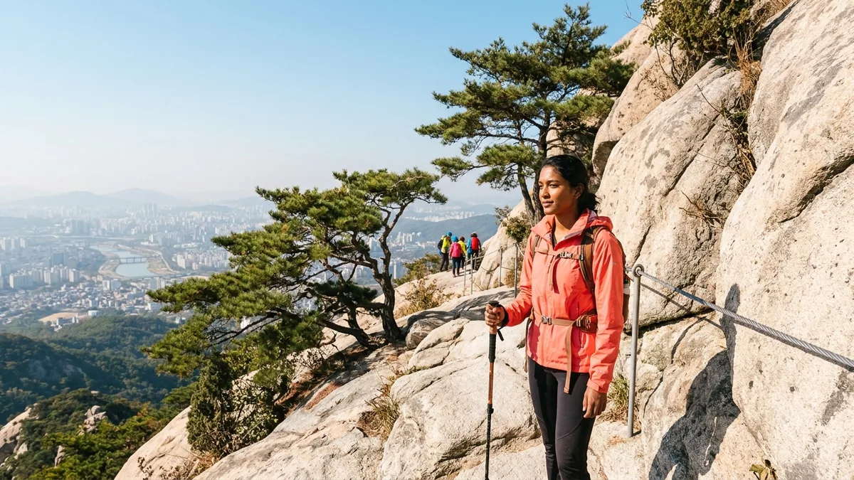
Stand on the summit, Baegundae Peak (836m), and Seoul's cityscape and the Han River spread out beneath your feet. The skyline drawn by its granite peaks (Baegundae, Insubong, Mangyeongdae) is so distinctive that many travelers come here on the strength of photos alone. And like Korea's other national parks, entry is free — there isn't even a ticket booth. Your only costs are transport and gear rental.
Choosing a course — the Baegundae front route vs. Ui-dong
There are many ways up Baegundae, but for foreign travelers, two are the realistic choices.
| Course | Trailhead | Round trip | Difficulty | Highlights |
|---|---|---|---|---|
| Bukhansanseong Course | Bukhansanseong Entrance (via Gupabal Station) | 4–6 hours | Upper-intermediate | The front route past Daeseomun Gate, valleys, and fortress ruins |
| Ui-dong Course | Bukhansan Ui Station | 4–5 hours from the station | Intermediate | Shortest way to Baegundae; gear rental center right at the trailhead |
| Bukhansan Dulle-gil | Varies by section | 1–3 hours per section | Beginner | A gentle lowland loop that skips the summit |
Which of the two to pick comes down to your priorities. If fortress ruins and valley scenery come first, take the Bukhansanseong Course; if the shortest route and easy access to gear rental matter more, it's Ui-dong. If you plan to rent gear, definitely choose Ui-dong — there's no rental branch on the Bukhansanseong Entrance side. The Ui-dong Course climbs about 40 minutes from Bukhansan Ui Station to the Doseonsa Temple entrance, then reaches the summit via Harujae and Baegunbong Ammun Gate; it's 3–4 hours round trip from the Baegun visitor support center, or 4–5 hours from the station once you add the walk both ways. (Times vary with fitness and crowds.)
Whichever way you climb, the finale is the same: from Baegunbong Ammun Gate to the summit, a stretch where you pull yourself up granite slabs holding the steel railings and cables bolted into the rock. It isn't dangerous rock climbing, but your hands stay busy, so grippy gloves and shoes with solid traction bring the perceived difficulty way down. Gloves may not be among the rental items, so pick up a cheap pair for a few thousand won at the trailhead shops, a convenience store, or Daiso. There's nowhere to buy water mid-trail, so stock up generously at the trailhead.
One more thing — if it's raining, or rained the day before, skip the Baegundae rock section. Wet granite is treacherously slippery, and the summit-area trail is sometimes closed for the day depending on conditions. On days like that, switch your plan to a gentler course like the Dulle-gil.
If the rock section sounds like too much, the Bukhansan Dulle-gil is your alternative. It's a gentle 71.5km trail in 21 sections circling the mountain's lower slopes — walkable in sneakers, and easy to do in 1–3 hour chunks, picking only the sections you like. Just remember the one exception: section 21, Uiryeong-gil, requires advance reservation. Book before your visit date on the KNPS reservation system (reservation.knps.or.kr) (as of Aug 2026; check official sources).
Getting to Bukhansan
Bukhansanseong Course — bus from Gupabal Station
- Get off at Gupabal Station on Line 3 and head to the bus stop right outside the station (Gupabal Station / Lotte Mall). If the multiple exits confuse you, it's quicker to first check the location of the stop serving "Bukhansanseong Entrance" in a map app, then take the exit on that side.
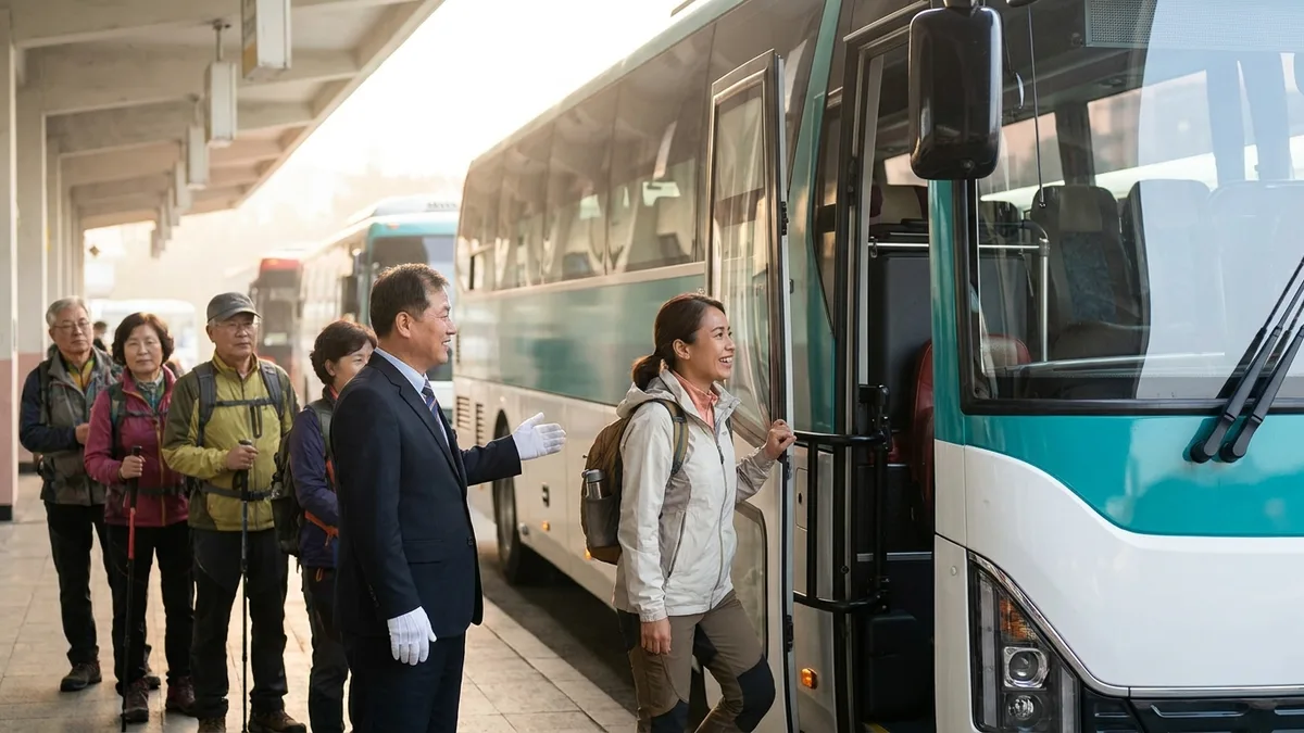
- Take bus 704 (a Seoul bus) or Yangju bus 37 and get off at the Bukhansanseong Entrance stop — a 10–15 minute ride.
- From the stop, it's about a 10-minute walk along the restaurant street to the trail entrance.
One caution here: this stretch has been reorganized often lately. Bus 34, which appears in older write-ups, has been discontinued, and after a 2025 reorganization, Bukhansanseong Entrance became the terminus of bus 704 (as of Aug 2026). It's safest to run one search for "Bukhansanseong Entrance" in Naver Map or Kakao Map before you board. There's a payment catch to know as well — the Climate Card, Seoul's unlimited pass, works on the Seoul-licensed 704 but not on the Gyeonggi (Yangju)-licensed Yangju 37. If you get around on a Climate Card, carry T-money balance or cash separately. Coverage by card type is in the Climate Card Guide.
Ui-dong Course — light rail straight to the trailhead
- Get off at Bukhansan Ui Station, the terminus of the Ui-Sinseol light rail line, and you're at the trailhead. You can transfer at Sungshin Women's University Station on Line 4 or Sinseol-dong Station on Lines 1 and 2.
- The gear rental center (Bukhansan branch) is right by this station too, so for first-timers this is the most convenient approach.
Pay subway and bus fares with a transit card like T-money and transfer discounts apply automatically. For buying and topping up a card, see the T-money Purchase, Top-up & Refund Guide; for topping up with an overseas card, see the Recharging a Transit Card with a Foreign Card Guide.
Just rent your gear — the Seoul Hiking Tourism Center
No need to squeeze hiking boots into your suitcase. The Seoul Hiking Tourism Center, which the city runs for foreign hiking visitors, offers same-day rentals. About 70% of the Bukhansan branch's users are foreigners (per Seoul city announcements), and foreign visitors to the branch grew 2.7x in a single year — from 3,237 in 2024 to 8,677 in 2025 — so renting here has become completely routine for foreign hikers.
- Location: The Bukhansan branch is a 5-minute walk from Exit 2 of Bukhansan Ui Station on the Ui-Sinseol line, right at the Ui-dong trailhead. There are other branches too, such as Bugaksan.
- Rental items: Hiking boots, hiking clothes (tops and bottoms), jackets, backpacks, trekking poles, hats — and in winter, seasonal gear like crampons.
- Fees: Around ₩2,000–5,000 per item. Even a full set runs ₩10,000–20,000, far cheaper than buying. (as of Aug 2026; check official sources)
- Hours: Roughly 09:00–18:00; the Bukhansan branch is listed as closed on Mondays (may vary by branch and season — check official sources). There's a changing area so you can gear up and set off on the spot, and luggage storage is available.
- Returns: Rented gear is due back the same day, before closing time. A Baegundae round trip takes 4–5 hours, so rent early in the morning to leave yourself a cushion after descending (see seoulhiking.or.kr for detailed return rules).
- Reservations: The official site (seoulhiking.or.kr) has an English reservation page. Walk-in rental works too, but sizes run out on weekends, so we recommend booking before you go.
One dress-culture note worth knowing: Koreans often show up in full gear even for neighborhood hills, which can be startling at first — but for a light Dulle-gil stroll, sneakers and a bottle of water are plenty. For courses with rock sections like Baegundae, though, shoes with real traction genuinely matter — that's when to use the rental center. And if it's a day you couldn't rent — you hit the Monday closure, or weekend sizes sold out — don't force Baegundae; switch that day's plan to the sneaker-friendly Dulle-gil instead.
Half-day mountains, and the next expedition
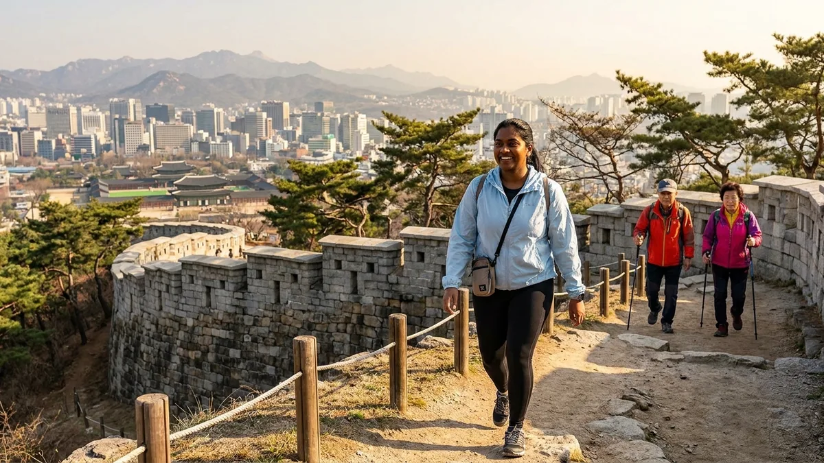
Bukhansan is a full-day course at 4–6 hours round trip, which can be too heavy to wedge between sightseeing plans. If you only have half a day, the alternatives are Inwangsan, Achasan, and Gwanaksan — climbable straight from a subway station and done in 1–5 hours. Courses by station and exit, a half-day plan paired with Gyeongbokgung, and Gwanaksan gear rental are covered separately in the Seoul Half-Day Hiking Guide.
Once Seoul's mountains feel familiar, the next step is out of town. Seoraksan near Sokcho is 2.5 hours by express bus and has a cable car, so you can enjoy it without hiking at all — transport details are in the Getting to Seoraksan Guide. Hallasan, Korea's highest peak, takes a bit of prep since its summit trails are reservation-only — the booking steps are laid out one by one in the Hallasan Reservation & Hiking Guide.
Rules and safety, just the essentials
- No drinking, cooking, or smoking: Drinking in designated areas of the national park carries a fine, and cooking — boiling ramyeon included — is banned. Pack out all your trash.
- No night hiking; check entry hours: National parks prohibit hiking after sunset, and each trail has designated entry hours (a set entry-time system). Arrive late in the afternoon and you may be turned away at the entrance, so for a Baegundae round trip, set out by late morning at the latest. In winter especially, the sun sets around 5 PM, so plan backward from your descent (entry times vary by season and trail — check knps.or.kr). Watching the sunset from Baegundae and then coming down is not an option.
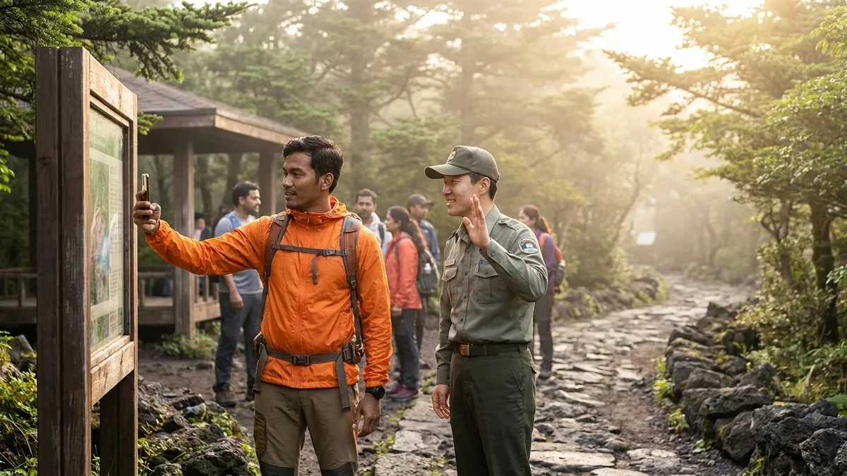
- If you get lost, call 119: Photograph each numbered multipurpose location marker as you pass; in an emergency, give the number to 119 and your location is pinpointed immediately.
- Check spring/fall closures: During wildfire-precaution periods, some Bukhansan trails close too. Check the Korea National Park Service notices (knps.or.kr) before hiking. In English, the KNPS English site (english.knps.or.kr) or the 24-hour multilingual travel helpline 1330 is quickest.
Fine amounts, wildfire-precaution date ranges, and how to combine Naver Map, Kakao Map, and AllTrails are covered in the Intro Guide to Hiking in Korea. The Korean post-hike tradition of wrapping up with pajeon and makgeolli at the trailhead restaurants is in that article too — the no-alcohol rule only applies while you're up on the mountain.
Transport & payment tips
The total cost of a Bukhansan hike is essentially a few thousand won in round-trip transport plus the gear rental fee. Yet a surprising number of foreigners get stuck on that "few thousand won." Transit card top-ups are still largely cash-based and unfamiliar, and when you come down late and try to call a taxi, many Korean taxi apps demand Korean phone verification. Move on to mountains like Seoraksan that require express bus booking, and the barrier only grows. Other ways to call a taxi without a Korean number are covered in How to Call a Taxi in Korea Without a Korean Phone.
Installing one transport and payment app designed to work without identity verification simplifies the whole flow. When everything from taxi calls to KTX and express bus bookings runs on overseas payment methods (Visa, Mastercard, Alipay, and more) in a single app, travel planning gets much lighter — whether it's a half-day Seoul hike or an out-of-town expedition.
Want to handle everything from your first ride after landing in one app? Check out LACHA.
Built to work without a Korean phone number or bank account, with overseas payment methods like Alipay, WeChat Pay, and Apple Pay. Taxi hailing plus KTX, express bus, and airport railroad (AREX) booking — all in one app.
KTX now up to ₩10,000 off. Enter code at sign-up for 3,000P on top
Download now


Frequently Asked Questions (FAQ)
Q1. I'm a hiking beginner — can I make it to Baegundae? If you walk regularly for exercise, take the Ui-dong Course at an easy pace and you'll manage. If using your hands on the rock stretch just below the summit feels scary, don't push it — turning around at Baegunbong Ammun Gate still gives you plenty of scenery. And if the rock puts you off entirely, choosing a gentle course like the Dulle-gil from the start is a perfectly good option.
Q2. Is there an entrance fee for Bukhansan? No. There's no ticket booth — you just walk in. Your only costs are transport, gear rental, and a post-hike meal.
Q3. I have no gear at all — what do I do? The Seoul Hiking Tourism Center's Bukhansan branch, right by Bukhansan Ui Station, rents hiking boots, poles, jackets, and more for a few thousand won per item. Book on the English page at seoulhiking.or.kr before you go and the size worry mostly disappears. ID checks and payment methods can vary by branch, so bring your passport and a little cash (check official sources).
Q4. Can I find the trails on Google Maps? Barely. The realistic combo is Naver Map or Kakao Map to reach the trailhead, then a trail app like AllTrails on the mountain. Signal can drop on the ridges, so download offline maps in advance. Full app-combo details are in the Intro Guide to Hiking in Korea.
Q5. When is the best time to go? Fall foliage season, late October to early November, is the most beautiful — and also the most crowded. Weekend morning trains toward Ui-dong fill with hikers, so for a relaxed walk, a weekday morning is best. In spring and fall, some trails may close during wildfire-precaution periods. Check dates and affected sections in the Korea National Park Service notices (knps.or.kr).
Note: This article is for general travel information purposes. Course times, bus routes, rental fees, and operating hours are as of Aug 2026 and can change at any time. Before hiking, check the latest information through official channels such as the Korea National Park Service (knps.or.kr) and the Seoul Hiking Tourism Center (seoulhiking.or.kr). LACHA does not guarantee trail access, rentals, or reservations.